


PE035, Marion County, Indiana
About
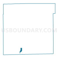
Outline

Summary
| Unique Area Identifier | 579523 |
| Name | PE035 |
| County | Marion County |
| State | Indiana |
| Area (square miles) | 0.85 |
| Land Area (square miles) | 0.85 |
| Water Area (square miles) | 0.00 |
| % of Land Area | 100.00 |
| % of Water Area | 0.00 |
| Latitude of the Internal Point | 39.65899890 |
| Longtitude of the Internal Point | -86.19357820 |
Maps


Graphs
Select a template below for downloading or customizing gragh for PE035, Marion County, Indiana


Neighbors
Neighoring Voting District (by Name) Neighboring Voting District on the Map
- PE001, Marion County, IN
- PE033, Marion County, IN
- PE034, Marion County, IN
- PE036, Marion County, IN
- PE048, Marion County, IN