


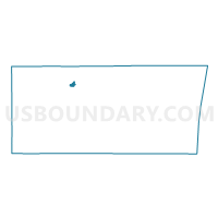
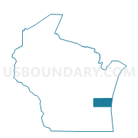
Howards Grove - V 1 Voting District, Sheboygan County, Wisconsin
About
Outline

Summary
| Unique Area Identifier | 697125 |
| Name | Howards Grove - V 1 Voting District |
| County | Sheboygan County |
| State | Wisconsin |
| Area (square miles) | 0.96 |
| Land Area (square miles) | 0.95 |
| Water Area (square miles) | 0.01 |
| % of Land Area | 98.94 |
| % of Water Area | 1.06 |
| Latitude of the Internal Point | 43.81661590 |
| Longtitude of the Internal Point | -87.81783410 |
Maps

Graphs
Select a template below for downloading or customizing gragh for Howards Grove - V 1 Voting District, Sheboygan County, Wisconsin


Neighbors
Neighoring Voting District (by Name) Neighboring Voting District on the Map
- HERMAN - T 1 Voting District, Sheboygan County, WI
- Howards Grove - V 2 Voting District, Sheboygan County, WI
- Howards Grove - V 3 Voting District, Sheboygan County, WI