


South Loup City Precinct, Sherman County, Nebraska
About
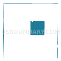
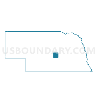
Outline

Summary
| Unique Area Identifier | 613954 |
| Name | South Loup City Precinct |
| County | Sherman County |
| State | Nebraska |
| Area (square miles) | 36.11 |
| Land Area (square miles) | 35.84 |
| Water Area (square miles) | 0.27 |
| % of Land Area | 99.25 |
| % of Water Area | 0.75 |
| Latitude of the Internal Point | 41.23358910 |
| Longtitude of the Internal Point | -98.90725030 |
Maps

Graphs
Select a template below for downloading or customizing gragh for South Loup City Precinct, Sherman County, Nebraska


Neighbors
Neighoring Voting District (by Name) Neighboring Voting District on the Map
- Ashton Precinct, Sherman County, NE
- Central Loup City Precinct, Sherman County, NE
- North Loup City Precinct, Sherman County, NE
- Rockville Precinct, Sherman County, NE
Top 10 Neighboring County Subdivision (by Population) Neighboring County Subdivision on the Map
- North Loup City precinct, Sherman County, NE (657)
- South Loup City precinct, Sherman County, NE (505)
- Rockville precinct, Sherman County, NE (486)
- Ashton precinct, Sherman County, NE (434)
- Central Loup City precinct, Sherman County, NE (363)