


Voting District 17, Jefferson County, West Virginia
About
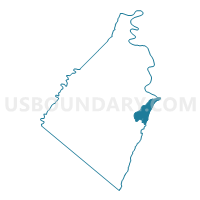
Outline

Summary
| Unique Area Identifier | 690862 |
| Name | Voting District 17 |
| County | Jefferson County |
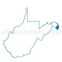
| State | West Virginia |
| Area (square miles) | 4.84 |
| Land Area (square miles) | 4.61 |
| Water Area (square miles) | 0.23 |
| % of Land Area | 95.30 |
| % of Water Area | 4.70 |
| Latitude of the Internal Point | 39.29622390 |
| Longtitude of the Internal Point | -77.76585000 |
Maps

Graphs
Select a template below for downloading or customizing gragh for Voting District 17, Jefferson County, West Virginia


Neighbors
Neighoring Voting District (by Name) Neighboring Voting District on the Map
- Voting District 13, Jefferson County, WV
- Voting District 14, Jefferson County, WV
- Voting District 16, Jefferson County, WV
- Between The Hills Voting District, Loudoun County, VA
- Washington Precinct 11-001, Washington County, MD
Top 10 Neighboring County Subdivision (by Population) Neighboring County Subdivision on the Map
- Blue Ridge district, Loudoun County, VA (30,989)
- Harpers Ferry district, Jefferson County, WV (10,518)
- District 11, Sandy Hook, Washington County, MD (1,874)
Top 10 Neighboring Place (by Population) Neighboring Place on the Map
Top 10 Neighboring Unified School District (by Population) Neighboring Unified School District on the Map
- Loudoun County Public Schools, VA (312,311)
- Washington County Public Schools, MD (147,430)
- Jefferson County School District, WV (53,498)
Top 10 Neighboring State Legislative District Lower Chamber (by Population) Neighboring State Legislative District Lower Chamber on the Map
- State House District 33, VA (113,100)
- State Legislative Subdistrict 3B, MD (54,040)
- State House District 58, WV (21,829)
- State House District 57, WV (21,709)
Top 10 Neighboring State Legislative District Upper Chamber (by Population) Neighboring State Legislative District Upper Chamber on the Map
- State Senate District 27, VA (227,068)
- State Senate District 16, WV (149,067)
- State Senate District 3, MD (147,548)
Top 10 Neighboring 111th Congressional District (by Population) Neighboring 111th Congressional District on the Map
- Congressional District 10, VA (869,437)
- Congressional District 6, MD (738,943)
- Congressional District 2, WV (648,186)
Top 10 Neighboring Census Tract (by Population) Neighboring Census Tract on the Map
- Census Tract 115, Washington County, MD (8,006)
- Census Tract 6101.01, Loudoun County, VA (3,843)
- Census Tract 9727.01, Jefferson County, WV (2,752)
- Census Tract 9726.01, Jefferson County, WV (2,047)