


Rush Valley Voting District, Tooele County, Utah
About
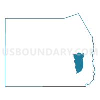
Outline

Summary
| Unique Area Identifier | 680010 |
| Name | Rush Valley Voting District |
| County | Tooele County |
| State | Utah |
| Area (square miles) | 176.35 |
| Land Area (square miles) | 175.72 |
| Water Area (square miles) | 0.63 |
| % of Land Area | 99.64 |
| % of Water Area | 0.36 |
| Latitude of the Internal Point | 40.30573330 |
| Longtitude of the Internal Point | -112.49122240 |
Maps


Graphs
Select a template below for downloading or customizing gragh for Rush Valley Voting District, Tooele County, Utah


Neighbors
Neighoring Voting District (by Name) Neighboring Voting District on the Map
- Ophir Voting District, Tooele County, UT
- Stockton 02A Voting District, Tooele County, UT
- Stockton 02B Voting District, Tooele County, UT
- Terra Voting District, Tooele County, UT
- Vernon Voting District, Tooele County, UT
Top 10 Neighboring County Subdivision (by Population) Neighboring County Subdivision on the Map
- Tooele-Grantsville CCD, Tooele County, UT (54,800)
- Dugway-Wendover CCD, Tooele County, UT (2,477)
- Rush Valley CCD, Tooele County, UT (941)