


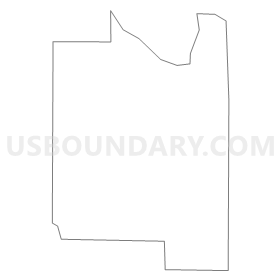
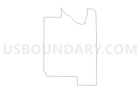
Voting District 3713, Salt Lake County, Utah
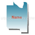
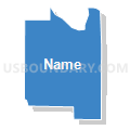
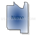
About
Outline
Summary
| Unique Area Identifier | 679214 |
| Name | Voting District 3713 |
| County | Salt Lake County |
| State | Utah |
| Area (square miles) | 2.83 |
| Land Area (square miles) | 2.83 |
| Water Area (square miles) | 0.00 |
| % of Land Area | 100.00 |
| % of Water Area | 0.00 |
| Latitude of the Internal Point | 40.47269380 |
| Longtitude of the Internal Point | -112.01877720 |
Maps

Graphs
Select a template below for downloading or customizing gragh for Voting District 3713, Salt Lake County, Utah


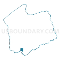
Neighbors
Neighoring Voting District (by Name) Neighboring Voting District on the Map
- Voting District 3704, Salt Lake County, UT
- Voting District 3705, Salt Lake County, UT
- Voting District 3706, Salt Lake County, UT
- Voting District 3707, Salt Lake County, UT
- Voting District 3712, Salt Lake County, UT
- Cedar Fort Unincorporated Voting District, Utah County, UT
- z Unpopulated 3330B, Salt Lake County, UT
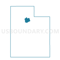
Top 10 Neighboring County Subdivision (by Population) Neighboring County Subdivision on the Map
Top 10 Neighboring Place (by Population) Neighboring Place on the Map
Top 10 Neighboring Unified School District (by Population) Neighboring Unified School District on the Map
Top 10 Neighboring State Legislative District Lower Chamber (by Population) Neighboring State Legislative District Lower Chamber on the Map
- State House District 56, UT (90,503)
- State House District 52, UT (61,341)
- State House District 41, UT (36,962)
Top 10 Neighboring State Legislative District Upper Chamber (by Population) Neighboring State Legislative District Upper Chamber on the Map
- State Senate District 13, UT (150,707)
- State Senate District 11, UT (137,882)
- State Senate District 10, UT (122,731)