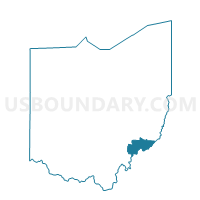
LOWELL Voting District, Washington County, Ohio
About
Outline

Summary
| Unique Area Identifier | 653161 |
| Name | LOWELL Voting District |
| County | Washington County |
| State | Ohio |
| Area (square miles) | 0.24 |
| Land Area (square miles) | 0.23 |
| Water Area (square miles) | 0.01 |
| % of Land Area | 96.35 |
| % of Water Area | 3.65 |
| Latitude of the Internal Point | 39.52939820 |
| Longtitude of the Internal Point | -81.50756080 |
Maps


Graphs
Select a template below for downloading or customizing gragh for LOWELL Voting District, Washington County, Ohio