


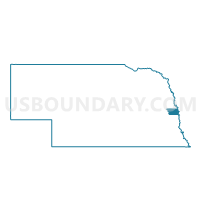
Precinct 7-49, Douglas County, Nebraska
About
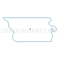
Outline

Summary
| Unique Area Identifier | 612874 |
| Name | Precinct 7-49 |
| County | Douglas County |
| State | Nebraska |
| Area (square miles) | 0.22 |
| Land Area (square miles) | 0.22 |
| Water Area (square miles) | 0.00 |
| % of Land Area | 100.00 |
| % of Water Area | 0.00 |
| Latitude of the Internal Point | 41.29588920 |
| Longtitude of the Internal Point | -96.16467910 |
Maps

Graphs
Select a template below for downloading or customizing gragh for Precinct 7-49, Douglas County, Nebraska


Neighbors
Neighoring Voting District (by Name) Neighboring Voting District on the Map
- Precinct 7-48, Douglas County, NE
- Precinct 7-50, Douglas County, NE
- Precinct 8-41, Douglas County, NE
- Precinct 8-42, Douglas County, NE
- Precinct 8-72, Douglas County, NE