


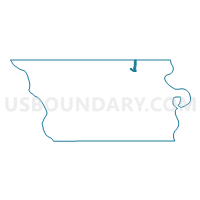
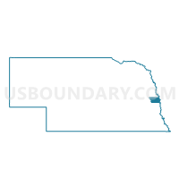
Precinct 8-61-4, Douglas County, Nebraska
About
Outline

Summary
| Unique Area Identifier | 612869 |
| Name | Precinct 8-61-4 |
| County | Douglas County |
| State | Nebraska |
| Area (square miles) | 0.74 |
| Land Area (square miles) | 0.67 |
| Water Area (square miles) | 0.07 |
| % of Land Area | 90.21 |
| % of Water Area | 9.79 |
| Latitude of the Internal Point | 41.37221220 |
| Longtitude of the Internal Point | -96.05870190 |
Maps

Graphs
Select a template below for downloading or customizing gragh for Precinct 8-61-4, Douglas County, Nebraska


Neighbors
Neighoring Voting District (by Name) Neighboring Voting District on the Map
- Fort Calhoun West Precinct, Washington County, NE
- Precinct 8-56, Douglas County, NE
- Precinct 8-56-3, Douglas County, NE
- Precinct 8-61, Douglas County, NE
Top 10 Neighboring County Subdivision (by Population) Neighboring County Subdivision on the Map
- Omaha city, Douglas County, NE (408,958)
- Union precinct, Douglas County, NE (12,704)
- Township 1, Washington County, NE (3,894)