


R-4 Precinct, Buffalo County, Nebraska
About
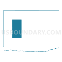
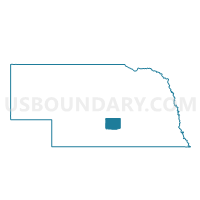
Outline

Summary
| Unique Area Identifier | 612469 |
| Name | R-4 Precinct |
| County | Buffalo County |
| State | Nebraska |
| Area (square miles) | 71.47 |
| Land Area (square miles) | 71.47 |
| Water Area (square miles) | 0.00 |
| % of Land Area | 100.00 |
| % of Water Area | 0.00 |
| Latitude of the Internal Point | 40.87306420 |
| Longtitude of the Internal Point | -99.25493330 |
Maps

Graphs
Select a template below for downloading or customizing gragh for R-4 Precinct, Buffalo County, Nebraska


Neighbors
Neighoring Voting District (by Name) Neighboring Voting District on the Map
- Elm Creek Precinct, Buffalo County, NE
- Odessa Precinct, Buffalo County, NE
- R-1 Precinct, Buffalo County, NE
- R-2 Precinct, Buffalo County, NE
- R-5 Precinct, Buffalo County, NE
- Riverdale Precinct, Buffalo County, NE
Top 10 Neighboring County Subdivision (by Population) Neighboring County Subdivision on the Map
- Riverdale township, Buffalo County, NE (2,193)
- Elm Creek township, Buffalo County, NE (1,242)
- Odessa township, Buffalo County, NE (510)
- Grant township, Buffalo County, NE (508)
- Divide township, Buffalo County, NE (386)
- Armada township, Buffalo County, NE (249)
- Rusco township, Buffalo County, NE (246)
- Scott township, Buffalo County, NE (132)
- Logan township, Buffalo County, NE (114)
- Sartoria township, Buffalo County, NE (75)
Top 10 Neighboring Place (by Population) Neighboring Place on the Map
Top 10 Neighboring Unified School District (by Population) Neighboring Unified School District on the Map
- Kearney Public Schools, NE (36,232)
- Elm Creek Public Schools, NE (1,596)
- Pleasanton Public Schools, NE (1,153)
- Amherst Public Schools, NE (1,116)