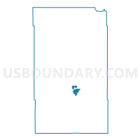
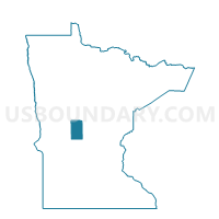
Long Prairie Voting District, Todd County, Minnesota
About
Outline

Summary
| Unique Area Identifier | 604655 |
| Name | Long Prairie Voting District |
| County | Todd County |
| State | Minnesota |
| Area (square miles) | 2.68 |
| Land Area (square miles) | 2.61 |
| Water Area (square miles) | 0.06 |
| % of Land Area | 97.62 |
| % of Water Area | 2.38 |
| Latitude of the Internal Point | 45.97874450 |
| Longtitude of the Internal Point | -94.86321370 |
Maps

Graphs
Select a template below for downloading or customizing gragh for Long Prairie Voting District, Todd County, Minnesota