


Floodwood P-1, St. Louis County, Minnesota
About
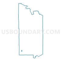
Outline

Summary
| Unique Area Identifier | 604210 |
| Name | Floodwood P-1 |
| County | St. Louis County |
| State | Minnesota |
| Area (square miles) | 1.42 |
| Land Area (square miles) | 1.42 |
| Water Area (square miles) | 0.00 |
| % of Land Area | 100.00 |
| % of Water Area | 0.00 |
| Latitude of the Internal Point | 46.92863900 |
| Longtitude of the Internal Point | -92.91167000 |
Maps


Graphs
Select a template below for downloading or customizing gragh for Floodwood P-1, St. Louis County, Minnesota


Neighbors
Neighoring Voting District (by Name) Neighboring Voting District on the Map
- Floodwood Twp. P-2, St. Louis County, MN
- Halden Twp. Voting District, St. Louis County, MN
- Van Buren Twp. Voting District, St. Louis County, MN
Top 10 Neighboring County Subdivision (by Population) Neighboring County Subdivision on the Map
- Floodwood city, St. Louis County, MN (528)
- Floodwood township, St. Louis County, MN (280)
- Van Buren township, St. Louis County, MN (189)
- Halden township, St. Louis County, MN (129)