Rushmore Voting District, Nobles County, Minnesota
About
Outline

Summary
| Unique Area Identifier | 603334 |
| Name | Rushmore Voting District |
| County | Nobles County |
| State | Minnesota |
| Area (square miles) | 0.25 |
| Land Area (square miles) | 0.25 |
| Water Area (square miles) | 0.00 |
| % of Land Area | 100.00 |
| % of Water Area | 0.00 |
| Latitude of the Internal Point | 43.61968950 |
| Longtitude of the Internal Point | -95.79895290 |
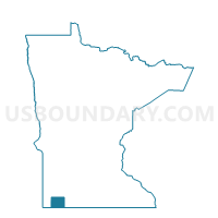
Maps

Graphs
Select a template below for downloading or customizing gragh for Rushmore Voting District, Nobles County, Minnesota