


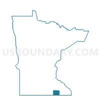
Mapleview Voting District, Mower County, Minnesota
About
Outline

Summary
| Unique Area Identifier | 603239 |
| Name | Mapleview Voting District |
| County | Mower County |
| State | Minnesota |
| Area (square miles) | 0.18 |
| Land Area (square miles) | 0.18 |
| Water Area (square miles) | 0.00 |
| % of Land Area | 100.00 |
| % of Water Area | 0.00 |
| Latitude of the Internal Point | 43.68991890 |
| Longtitude of the Internal Point | -92.97409910 |
Maps


Graphs
Select a template below for downloading or customizing gragh for Mapleview Voting District, Mower County, Minnesota


Neighbors
Neighoring Voting District (by Name) Neighboring Voting District on the Map
- Austin W-1 P-1, Mower County, MN
- Austin W-3 P-1, Mower County, MN
- Lansing Twp. Voting District, Mower County, MN
Top 10 Neighboring County Subdivision (by Population) Neighboring County Subdivision on the Map
- Austin city, Mower County, MN (24,718)
- Lansing township, Mower County, MN (941)
- Mapleview city, Mower County, MN (176)