


Grand Meadow Voting District, Mower County, Minnesota
About
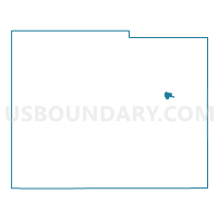
Outline

Summary
| Unique Area Identifier | 603220 |
| Name | Grand Meadow Voting District |
| County | Mower County |
| State | Minnesota |
| Area (square miles) | 0.67 |
| Land Area (square miles) | 0.67 |
| Water Area (square miles) | 0.00 |
| % of Land Area | 100.00 |
| % of Water Area | 0.00 |
| Latitude of the Internal Point | 43.70584970 |
| Longtitude of the Internal Point | -92.57036680 |
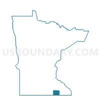
Maps

Graphs
Select a template below for downloading or customizing gragh for Grand Meadow Voting District, Mower County, Minnesota


Neighbors
Neighoring Voting District (by Name) Neighboring Voting District on the Map
- Frankford Twp. Voting District, Mower County, MN
- Grand Meadow Twp. Voting District, Mower County, MN
Top 10 Neighboring County Subdivision (by Population) Neighboring County Subdivision on the Map
- Grand Meadow city, Mower County, MN (1,139)
- Frankford township, Mower County, MN (371)
- Grand Meadow township, Mower County, MN (306)