Waterville Voting District, Le Sueur County, Minnesota
About
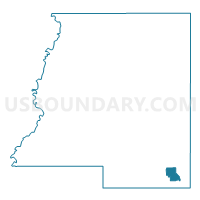
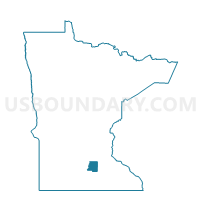
Outline

Summary
| Unique Area Identifier | 602914 |
| Name | Waterville Voting District |
| County | Le Sueur County |
| State | Minnesota |
| Area (square miles) | 2.33 |
| Land Area (square miles) | 1.70 |
| Water Area (square miles) | 0.64 |
| % of Land Area | 72.76 |
| % of Water Area | 27.24 |
| Latitude of the Internal Point | 44.22185400 |
| Longtitude of the Internal Point | -93.57240780 |
Maps

Graphs
Select a template below for downloading or customizing gragh for Waterville Voting District, Le Sueur County, Minnesota