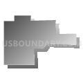
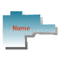
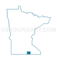
Hartland Voting District, Freeborn County, Minnesota
About
Outline

Summary
| Unique Area Identifier | 601997 |
| Name | Hartland Voting District |
| County | Freeborn County |
| State | Minnesota |
| Area (square miles) | 0.30 |
| Land Area (square miles) | 0.30 |
| Water Area (square miles) | 0.00 |
| % of Land Area | 100.00 |
| % of Water Area | 0.00 |
| Latitude of the Internal Point | 43.80447840 |
| Longtitude of the Internal Point | -93.48505560 |
Maps

Graphs
Select a template below for downloading or customizing gragh for Hartland Voting District, Freeborn County, Minnesota