


Blue Earth W-2, Faribault County, Minnesota
About
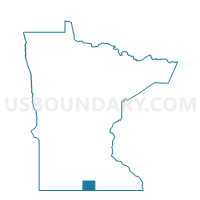
Outline

Summary
| Unique Area Identifier | 601903 |
| Name | Blue Earth W-2 |
| County | Faribault County |
| State | Minnesota |
| Area (square miles) | 0.70 |
| Land Area (square miles) | 0.67 |
| Water Area (square miles) | 0.03 |
| % of Land Area | 96.20 |
| % of Water Area | 3.80 |
| Latitude of the Internal Point | 43.63194520 |
| Longtitude of the Internal Point | -94.10536410 |
Maps


Graphs
Select a template below for downloading or customizing gragh for Blue Earth W-2, Faribault County, Minnesota


Neighbors
Neighoring Voting District (by Name) Neighboring Voting District on the Map
- Blue Earth Twp. Voting District, Faribault County, MN
- Blue Earth W-1, Faribault County, MN
- Blue Earth W-3, Faribault County, MN