


Wales Precinct 1, Hampden County, Massachusetts
About
Outline

Summary
| Unique Area Identifier | 594296 |
| Name | Wales Precinct 1 |
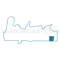
| County | Hampden County |
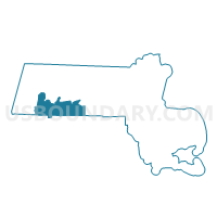
| State | Massachusetts |
| Area (square miles) | 15.96 |
| Land Area (square miles) | 15.73 |
| Water Area (square miles) | 0.23 |
| % of Land Area | 98.54 |
| % of Water Area | 1.46 |
| Latitude of the Internal Point | 42.06131290 |
| Longtitude of the Internal Point | -72.23441090 |
Maps

Graphs
Select a template below for downloading or customizing gragh for Wales Precinct 1, Hampden County, Massachusetts


Neighbors
Neighoring Voting District (by Name) Neighboring Voting District on the Map
- Brimfield Precinct 1, Hampden County, MA
- Holland Precinct 1, Hampden County, MA
- Monson Precinct C, Hampden County, MA
- Stafford 1 Voting District, Tolland County, CT
- Union 1 Voting District, Tolland County, CT
Top 10 Neighboring County Subdivision (by Population) Neighboring County Subdivision on the Map
- Stafford town, Tolland County, CT (12,087)
- Monson town, Hampden County, MA (8,560)
- Brimfield town, Hampden County, MA (3,609)
- Holland town, Hampden County, MA (2,481)
- Wales town, Hampden County, MA (1,838)
- Union town, Tolland County, CT (854)
Top 10 Neighboring Elementary School District (by Population) Neighboring Elementary School District on the Map
- Brimfield School District, MA (3,609)
- Holland School District, MA (2,481)
- Wales School District, MA (1,838)
- Union School District, CT (854)
Top 10 Neighboring Secondary School District (by Population) Neighboring Secondary School District on the Map
Top 10 Neighboring Unified School District (by Population) Neighboring Unified School District on the Map
Top 10 Neighboring State Legislative District Lower Chamber (by Population) Neighboring State Legislative District Lower Chamber on the Map
- Second Hampden District, MA (42,757)
- First Hampden District, MA (41,168)
- State House District 52, CT (24,385)
Top 10 Neighboring State Legislative District Upper Chamber (by Population) Neighboring State Legislative District Upper Chamber on the Map
- Worcester, Hampden, Hampshire & Franklin District, MA (163,941)
- State Senate District 35, CT (101,443)
Top 10 Neighboring 111th Congressional District (by Population) Neighboring 111th Congressional District on the Map
Top 10 Neighboring Census Tract (by Population) Neighboring Census Tract on the Map
- Census Tract 8902.02, Tolland County, CT (5,205)
- Census Tract 8138.01, Hampden County, MA (4,319)
- Census Tract 8902.01, Tolland County, CT (3,878)
- Census Tract 8138.02, Hampden County, MA (3,609)
- Census Tract 8137.01, Hampden County, MA (3,462)