


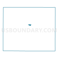
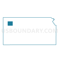
Colby Ward 3, Thomas County, Kansas
About
Outline

Summary
| Unique Area Identifier | 587534 |
| Name | Colby Ward 3 |
| County | Thomas County |
| State | Kansas |
| Area (square miles) | 0.79 |
| Land Area (square miles) | 0.79 |
| Water Area (square miles) | 0.00 |
| % of Land Area | 100.00 |
| % of Water Area | 0.00 |
| Latitude of the Internal Point | 39.39297510 |
| Longtitude of the Internal Point | -101.04698360 |
Maps

Graphs
Select a template below for downloading or customizing gragh for Colby Ward 3, Thomas County, Kansas


Neighbors
Neighoring Voting District (by Name) Neighboring Voting District on the Map
- Colby Ward 2, Thomas County, KS
- Colby Ward 4, Thomas County, KS
- Colby Ward 4 Exclave, Thomas County, KS
- East Morgan Township Voting District, Thomas County, KS
- West Morgan Township Voting District, Thomas County, KS