


Mulvane City Voting District, Sumner County, Kansas
About
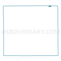
Outline

Summary
| Unique Area Identifier | 587524 |
| Name | Mulvane City Voting District |
| County | Sumner County |
| State | Kansas |
| Area (square miles) | 0.69 |
| Land Area (square miles) | 0.69 |
| Water Area (square miles) | 0.00 |
| % of Land Area | 100.00 |
| % of Water Area | 0.00 |
| Latitude of the Internal Point | 37.47210860 |
| Longtitude of the Internal Point | -97.24587080 |
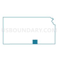
Maps

Graphs
Select a template below for downloading or customizing gragh for Mulvane City Voting District, Sumner County, Kansas


Neighbors
Neighoring Voting District (by Name) Neighboring Voting District on the Map
- Belle Plaine Township Voting District, Sumner County, KS
- Gore Township Voting District, Sumner County, KS
- Gore Township Enclave Voting District, Sumner County, KS
- Mulvane City Precinct 01, Sedgwick County, KS
- Mulvane City Precinct 02, Sedgwick County, KS
- Rockford Precinct 03, Sedgwick County, KS
Top 10 Neighboring County Subdivision (by Population) Neighboring County Subdivision on the Map
- Rockford township, Sedgwick County, KS (22,784)
- Belle Plaine township, Sumner County, KS (3,287)
- Gore township, Sumner County, KS (2,105)