


Precinct 10, Lyon County, Kansas
About
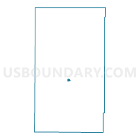
Outline

Summary
| Unique Area Identifier | 585732 |
| Name | Precinct 10 |
| County | Lyon County |
| State | Kansas |
| Area (square miles) | 0.37 |
| Land Area (square miles) | 0.37 |
| Water Area (square miles) | 0.00 |
| % of Land Area | 100.00 |
| % of Water Area | 0.00 |
| Latitude of the Internal Point | 38.40907100 |
| Longtitude of the Internal Point | -96.15783430 |
Maps


Graphs
Select a template below for downloading or customizing gragh for Precinct 10, Lyon County, Kansas


Neighbors
Neighoring Voting District (by Name) Neighboring Voting District on the Map
- Precinct 03, Lyon County, KS
- Precinct 09, Lyon County, KS
- Precinct 28, Lyon County, KS
- Precinct 28 Enclave Part B, Lyon County, KS