


Lawrence Precinct 38 Part 3, Douglas County, Kansas
About
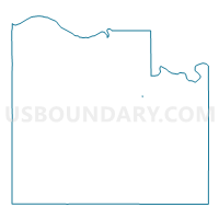
Outline

Summary
| Unique Area Identifier | 584621 |
| Name | Lawrence Precinct 38 Part 3 |
| County | Douglas County |
| State | Kansas |
| Area (square miles) | 0.00 |
| Land Area (square miles) | 0.00 |
| Water Area (square miles) | 0.00 |
| % of Land Area | 100.00 |
| % of Water Area | 0.00 |
| Latitude of the Internal Point | 38.92860720 |
| Longtitude of the Internal Point | -95.20555230 |
Maps

Graphs
Select a template below for downloading or customizing gragh for Lawrence Precinct 38 Part 3, Douglas County, Kansas


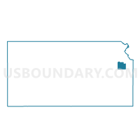
Neighbors
Neighoring Voting District (by Name) Neighboring Voting District on the Map
- East Wakarusa H10 Precinct 65, Douglas County, KS
- East Wakarusa H38 Precinct 65 Part 1, Douglas County, KS
- Lawrence Precinct 38, Douglas County, KS