


Walnut-Helper Voting District, Crawford County, Kansas
About
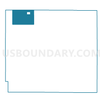
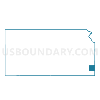
Outline

Summary
| Unique Area Identifier | 584440 |
| Name | Walnut-Helper Voting District |
| County | Crawford County |
| State | Kansas |
| Area (square miles) | 23.37 |
| Land Area (square miles) | 23.24 |
| Water Area (square miles) | 0.13 |
| % of Land Area | 99.44 |
| % of Water Area | 0.56 |
| Latitude of the Internal Point | 37.64384110 |
| Longtitude of the Internal Point | -94.99846070 |
Maps

Graphs
Select a template below for downloading or customizing gragh for Walnut-Helper Voting District, Crawford County, Kansas


Neighbors
Neighoring Voting District (by Name) Neighboring Voting District on the Map
- Brazilton Voting District, Crawford County, KS
- Hepler Voting District, Crawford County, KS
- Sherman Voting District, Crawford County, KS
- Walnut Township Voting District, Bourbon County, KS
- Walnut Township Voting District, Crawford County, KS
Top 10 Neighboring County Subdivision (by Population) Neighboring County Subdivision on the Map
- Walnut township, Crawford County, KS (577)
- Sherman township, Crawford County, KS (536)
- Walnut township, Bourbon County, KS (127)
Top 10 Neighboring Place (by Population) Neighboring Place on the Map
Top 10 Neighboring Unified School District (by Population) Neighboring Unified School District on the Map
- Girard Unified School District 248, KS (5,480)
- Erie Unified School District 101, KS (3,628)
- Uniontown Unified School District 235, KS (2,261)