


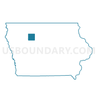
ROLFE Voting District, Pocahontas County, Iowa
About
Outline

Summary
| Unique Area Identifier | 583048 |
| Name | ROLFE Voting District |
| County | Pocahontas County |
| State | Iowa |
| Area (square miles) | 1.05 |
| Land Area (square miles) | 1.05 |
| Water Area (square miles) | 0.00 |
| % of Land Area | 99.89 |
| % of Water Area | 0.11 |
| Latitude of the Internal Point | 42.81319750 |
| Longtitude of the Internal Point | -94.53185500 |
Maps

Graphs
Select a template below for downloading or customizing gragh for ROLFE Voting District, Pocahontas County, Iowa


Neighbors
Neighoring Voting District (by Name) Neighboring Voting District on the Map
- DES MOINES TWP Voting District, Pocahontas County, IA
- GARFIELD TWP W/O GILMORE CITY Voting District, Pocahontas County, IA
Top 10 Neighboring County Subdivision (by Population) Neighboring County Subdivision on the Map
- Rolfe city, Pocahontas County, IA (584)
- Garfield township, Pocahontas County, IA (274)
- Des Moines township, Pocahontas County, IA (169)