


CEDAR FALLS W5P2, Black Hawk County, Iowa
About
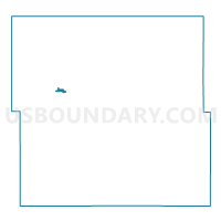
Outline

Summary
| Unique Area Identifier | 581513 |
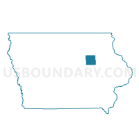
| Name | CEDAR FALLS W5P2 |
| County | Black Hawk County |
| State | Iowa |
| Area (square miles) | 0.26 |
| Land Area (square miles) | 0.26 |
| Water Area (square miles) | 0.00 |
| % of Land Area | 100.00 |
| % of Water Area | 0.00 |
| Latitude of the Internal Point | 42.50719650 |
| Longtitude of the Internal Point | -92.43305940 |
Maps

Graphs
Select a template below for downloading or customizing gragh for CEDAR FALLS W5P2, Black Hawk County, Iowa


Neighbors
Neighoring Voting District (by Name) Neighboring Voting District on the Map
- CEDAR FALLS W2P1, Black Hawk County, IA
- CEDAR FALLS W2P2, Black Hawk County, IA
- CEDAR FALLS W5P1, Black Hawk County, IA
- CEDAR FALLS W5P3, Black Hawk County, IA