


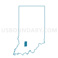
PERRY 4, Martin County, Indiana
About
Outline

Summary
| Unique Area Identifier | 579720 |
| Name | PERRY 4 |
| County | Martin County |
| State | Indiana |
| Area (square miles) | 0.49 |
| Land Area (square miles) | 0.48 |
| Water Area (square miles) | 0.00 |
| % of Land Area | 99.56 |
| % of Water Area | 0.44 |
| Latitude of the Internal Point | 38.66960300 |
| Longtitude of the Internal Point | -86.90905440 |
Maps


Graphs
Select a template below for downloading or customizing gragh for PERRY 4, Martin County, Indiana


Neighbors
Neighoring Voting District (by Name) Neighboring Voting District on the Map
- PERRY 1, Martin County, IN
- PERRY 2, Martin County, IN
- PERRY 3, Martin County, IN
- PERRY 5, Martin County, IN
- PERRY 6, Martin County, IN