


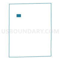
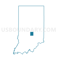
WHITE RIVER 22, Johnson County, Indiana
About
Outline

Summary
| Unique Area Identifier | 578152 |
| Name | WHITE RIVER 22 |
| County | Johnson County |
| State | Indiana |
| Area (square miles) | 1.55 |
| Land Area (square miles) | 1.54 |
| Water Area (square miles) | 0.01 |
| % of Land Area | 99.34 |
| % of Water Area | 0.66 |
| Latitude of the Internal Point | 39.57042100 |
| Longtitude of the Internal Point | -86.18173040 |
Maps

Graphs
Select a template below for downloading or customizing gragh for WHITE RIVER 22, Johnson County, Indiana


Neighbors
Neighoring Voting District (by Name) Neighboring Voting District on the Map
- WHITE RIVER 08, Johnson County, IN
- WHITE RIVER 12, Johnson County, IN
- WHITE RIVER 13, Johnson County, IN
- WHITE RIVER 15, Johnson County, IN
- WHITE RIVER 21, Johnson County, IN
- WHITE RIVER 28, Johnson County, IN
Top 10 Neighboring County Subdivision (by Population) Neighboring County Subdivision on the Map
Top 10 Neighboring Place (by Population) Neighboring Place on the Map
Top 10 Neighboring Unified School District (by Population) Neighboring Unified School District on the Map
Top 10 Neighboring State Legislative District Lower Chamber (by Population) Neighboring State Legislative District Lower Chamber on the Map
Top 10 Neighboring State Legislative District Upper Chamber (by Population) Neighboring State Legislative District Upper Chamber on the Map
- State Senate District 36, IN (135,002)
- State Senate District 35, IN (133,248)
- State Senate District 37, IN (125,824)