


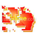
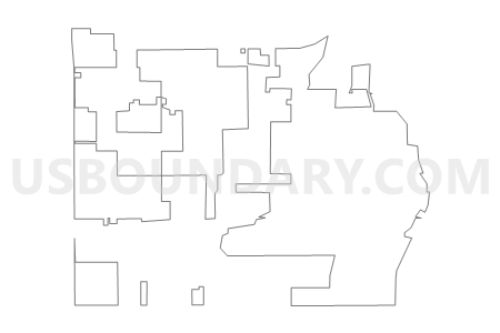
NOBLESVILLE 03, Hamilton County, Indiana
About
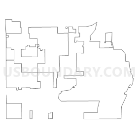
Outline
Summary
| Unique Area Identifier | 577547 |
| Name | NOBLESVILLE 03 |
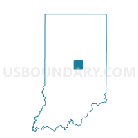
| County | Hamilton County |
| State | Indiana |
| Area (square miles) | 6.82 |
| Land Area (square miles) | 6.16 |
| Water Area (square miles) | 0.65 |
| % of Land Area | 90.40 |
| % of Water Area | 9.60 |
| Latitude of the Internal Point | 40.01079020 |
| Longtitude of the Internal Point | -86.02915880 |
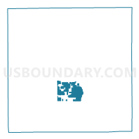
Maps

Graphs
Select a template below for downloading or customizing gragh for NOBLESVILLE 03, Hamilton County, Indiana


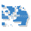

Neighbors
Neighoring Voting District (by Name) Neighboring Voting District on the Map
- CLAY NORTHEAST, Hamilton County, IN
- COPPERWOOD, Hamilton County, IN
- DELAWARE 08, Hamilton County, IN
- DELAWARE 17, Hamilton County, IN
- EAST WASHINGTON, Hamilton County, IN
- EAST WESTFIELD 02, Hamilton County, IN
- HAZEL DELL, Hamilton County, IN
- NOBLESVILLE 02, Hamilton County, IN
- NOBLESVILLE 04, Hamilton County, IN
- NOBLESVILLE 06, Hamilton County, IN
- NOBLESVILLE 11, Hamilton County, IN
- NOBLESVILLE 12, Hamilton County, IN
- NOBLESVILLE 22, Hamilton County, IN
- NOBLESVILLE 26, Hamilton County, IN
- NOBLESVILLE 30, Hamilton County, IN
- NOBLESVILLE 31, Hamilton County, IN
- NOBLESVILLE 33, Hamilton County, IN
- NOBLESVILLE 34, Hamilton County, IN
- SOUTH WESTFIELD 02, Hamilton County, IN
- SOUTHEAST WESTFIELD 02, Hamilton County, IN
- WOODFIELD, Hamilton County, IN
Top 10 Neighboring County Subdivision (by Population) Neighboring County Subdivision on the Map
- Clay township, Hamilton County, IN (83,293)
- Noblesville township, Hamilton County, IN (50,564)
- Washington township, Hamilton County, IN (32,884)
- Delaware township, Hamilton County, IN (30,617)
Top 10 Neighboring Place (by Population) Neighboring Place on the Map
Top 10 Neighboring Unified School District (by Population) Neighboring Unified School District on the Map
- Hamilton Southeastern Schools, IN (90,116)
- Carmel Clay Schools, IN (83,293)
- Noblesville Schools, IN (50,564)
- Westfield-Washington Schools, IN (32,884)
Top 10 Neighboring State Legislative District Lower Chamber (by Population) Neighboring State Legislative District Lower Chamber on the Map
Top 10 Neighboring State Legislative District Upper Chamber (by Population) Neighboring State Legislative District Upper Chamber on the Map
Top 10 Neighboring 111th Congressional District (by Population) Neighboring 111th Congressional District on the Map
Top 10 Neighboring Census Tract (by Population) Neighboring Census Tract on the Map
- Census Tract 1105.07, Hamilton County, IN (10,869)
- Census Tract 1109.08, Hamilton County, IN (10,763)
- Census Tract 1105.08, Hamilton County, IN (8,929)
- Census Tract 1108.09, Hamilton County, IN (8,717)
- Census Tract 1105.06, Hamilton County, IN (8,688)
- Census Tract 1108.12, Hamilton County, IN (6,036)
- Census Tract 1109.07, Hamilton County, IN (5,383)
- Census Tract 1109.04, Hamilton County, IN (4,546)
- Census Tract 1107, Hamilton County, IN (3,425)