


UTICA 02 JEFFERSONVILLE, Clark County, Indiana
About
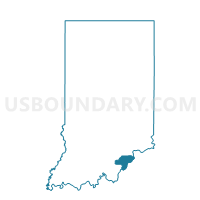
Outline

Summary
| Unique Area Identifier | 576645 |
| Name | UTICA 02 JEFFERSONVILLE |
| County | Clark County |
| State | Indiana |
| Area (square miles) | 1.32 |
| Land Area (square miles) | 1.31 |
| Water Area (square miles) | 0.00 |
| % of Land Area | 99.85 |
| % of Water Area | 0.15 |
| Latitude of the Internal Point | 38.34529410 |
| Longtitude of the Internal Point | -85.68889080 |
Maps


Graphs
Select a template below for downloading or customizing gragh for UTICA 02 JEFFERSONVILLE, Clark County, Indiana


Neighbors
Neighoring Voting District (by Name) Neighboring Voting District on the Map
- JEFFERSONVILLE 18, Clark County, IN
- JEFFERSONVILLE 25, Clark County, IN
- UTICA 02, Clark County, IN
- UTICA 03 JEFFERSONVILLE, Clark County, IN
- UTICA 04, Clark County, IN
- UTICA 04 JEFFERSONVILLE, Clark County, IN
- UTICA JEFF CITY 19, Clark County, IN