


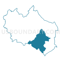
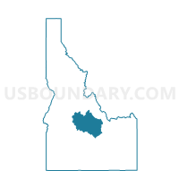
Battleground Voting District, Custer County, Idaho
About
Outline

Summary
| Unique Area Identifier | 564008 |
| Name | Battleground Voting District |
| County | Custer County |
| State | Idaho |
| Area (square miles) | 726.10 |
| Land Area (square miles) | 724.31 |
| Water Area (square miles) | 1.79 |
| % of Land Area | 99.75 |
| % of Water Area | 0.25 |
| Latitude of the Internal Point | 43.94504650 |
| Longtitude of the Internal Point | -114.00367220 |
Maps

Graphs
Select a template below for downloading or customizing gragh for Battleground Voting District, Custer County, Idaho


Neighbors
Neighoring Voting District (by Name) Neighboring Voting District on the Map
- Carey Voting District, Blaine County, ID
- Clayton Voting District, Custer County, ID
- Hailey Llll Voting District, Blaine County, ID
- Leslie Voting District, Custer County, ID
- Ne Blaine County Voting District, Blaine County, ID
- Round Valley 1 Voting District, Custer County, ID
- Sunol Voting District, Custer County, ID
Top 10 Neighboring County Subdivision (by Population) Neighboring County Subdivision on the Map
- Hailey-Bellevue CCD, Blaine County, ID (13,714)
- Ketchum CCD, Blaine County, ID (6,620)
- Challis CCD, Custer County, ID (2,614)
- Mackay CCD, Custer County, ID (1,421)
Top 10 Neighboring Unified School District (by Population) Neighboring Unified School District on the Map
- Blaine County School District 61, ID (21,376)
- Challis Joint School District 181, ID (3,104)
- Butte County Joint School District 111, ID (2,825)
- Mackay Joint School District 182, ID (1,487)
Top 10 Neighboring State Legislative District Lower Chamber (by Population) Neighboring State Legislative District Lower Chamber on the Map
Top 10 Neighboring State Legislative District Upper Chamber (by Population) Neighboring State Legislative District Upper Chamber on the Map
Top 10 Neighboring 111th Congressional District (by Population) Neighboring 111th Congressional District on the Map
Top 10 Neighboring Census Tract (by Population) Neighboring Census Tract on the Map
- Census Tract 9602, Blaine County, ID (9,878)
- Census Tract 9602, Custer County, ID (4,368)
- Census Tract 9603, Blaine County, ID (3,676)
- Census Tract 9605, Blaine County, ID (2,944)
Top 10 Neighboring 5-Digit ZIP Code Tabulation Area (by Population) Neighboring 5-Digit ZIP Code Tabulation Area on the Map
- 83333, ID (10,472)
- 83340, ID (4,682)
- 83226, ID (2,504)
- 83255, ID (1,213)
- 83251, ID (1,097)
- 83320, ID (1,006)
- 83253, ID (165)