


Routt 11, Routt County, Colorado
About
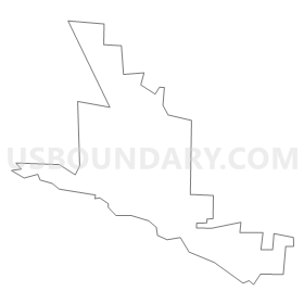
Outline
Summary
| Unique Area Identifier | 549232 |
| Name | Routt 11 |
| County | Routt County |
| State | Colorado |
| Area (square miles) | 2.34 |
| Land Area (square miles) | 2.33 |
| Water Area (square miles) | 0.01 |
| % of Land Area | 99.76 |
| % of Water Area | 0.24 |
| Latitude of the Internal Point | 40.50524890 |
| Longtitude of the Internal Point | -106.85931350 |
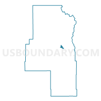
Maps


Graphs
Select a template below for downloading or customizing gragh for Routt 11, Routt County, Colorado


Neighbors
Neighoring Voting District (by Name) Neighboring Voting District on the Map
- Routt 12, Routt County, CO
- Routt 13, Routt County, CO
- Routt 3, Routt County, CO
- Routt 4, Routt County, CO
- Routt 6, Routt County, CO