


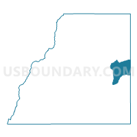
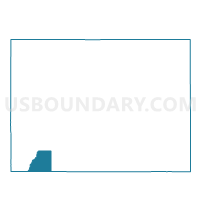
La Plata 26, La Plata County, Colorado
About
Outline

Summary
| Unique Area Identifier | 548657 |
| Name | La Plata 26 |
| County | La Plata County |
| State | Colorado |
| Area (square miles) | 48.08 |
| Land Area (square miles) | 48.03 |
| Water Area (square miles) | 0.05 |
| % of Land Area | 99.90 |
| % of Water Area | 0.10 |
| Latitude of the Internal Point | 37.31854200 |
| Longtitude of the Internal Point | -107.55554090 |
Maps

Graphs
Select a template below for downloading or customizing gragh for La Plata 26, La Plata County, Colorado


Neighbors
Neighoring Voting District (by Name) Neighboring Voting District on the Map
- Archuleta 5, Archuleta County, CO
- La Plata 15, La Plata County, CO
- La Plata 19, La Plata County, CO
- La Plata 20, La Plata County, CO