


Garfield 27, Garfield County, Colorado
About
Outline

Summary
| Unique Area Identifier | 548225 |
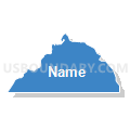
| Name | Garfield 27 |
| County | Garfield County |
| State | Colorado |
| Area (square miles) | 28.18 |
| Land Area (square miles) | 28.06 |
| Water Area (square miles) | 0.12 |
| % of Land Area | 99.58 |
| % of Water Area | 0.42 |
| Latitude of the Internal Point | 39.38351560 |
| Longtitude of the Internal Point | -108.01806500 |
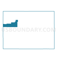
Maps


Graphs
Select a template below for downloading or customizing gragh for Garfield 27, Garfield County, Colorado


Neighbors
Neighoring Voting District (by Name) Neighboring Voting District on the Map
- Garfield 24, Garfield County, CO
- Garfield 25, Garfield County, CO
- Garfield 26, Garfield County, CO
- Mesa 80, Mesa County, CO
- Mesa 82, Mesa County, CO
Top 10 Neighboring County Subdivision (by Population) Neighboring County Subdivision on the Map
- West Garfield CCD, Garfield County, CO (6,041)
- Collbran CCD, Mesa County, CO (2,490)
- De Beque CCD, Mesa County, CO (934)
Top 10 Neighboring Place (by Population) Neighboring Place on the Map
Top 10 Neighboring Unified School District (by Population) Neighboring Unified School District on the Map
- Garfield County School District 16, CO (5,935)
- Plateau Valley School District 50, CO (2,572)
- De Beque School District 49-JT, CO (921)