


Eagle 28, Eagle County, Colorado
About
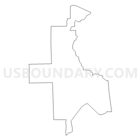
Outline
Summary
| Unique Area Identifier | 547741 |
| Name | Eagle 28 |
| County | Eagle County |
| State | Colorado |
| Area (square miles) | 12.00 |
| Land Area (square miles) | 11.96 |
| Water Area (square miles) | 0.04 |
| % of Land Area | 99.63 |
| % of Water Area | 0.37 |
| Latitude of the Internal Point | 39.58764650 |
| Longtitude of the Internal Point | -106.59548400 |
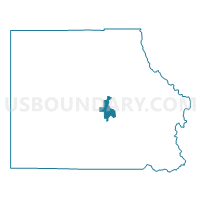
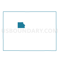
Maps

Graphs
Select a template below for downloading or customizing gragh for Eagle 28, Eagle County, Colorado


Neighbors
Neighoring Voting District (by Name) Neighboring Voting District on the Map
- Eagle 20, Eagle County, CO
- Eagle 21, Eagle County, CO
- Eagle 22, Eagle County, CO
- Eagle 29, Eagle County, CO
- Eagle 30, Eagle County, CO
- Eagle 4, Eagle County, CO