


Boulder 56, Boulder County, Colorado
About
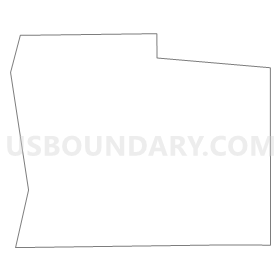
Outline
Summary
| Unique Area Identifier | 546878 |
| Name | Boulder 56 |
| County | Boulder County |
| State | Colorado |
| Area (square miles) | 0.25 |
| Land Area (square miles) | 0.25 |
| Water Area (square miles) | 0.00 |
| % of Land Area | 100.00 |
| % of Water Area | 0.00 |
| Latitude of the Internal Point | 39.96846640 |
| Longtitude of the Internal Point | -105.15176390 |
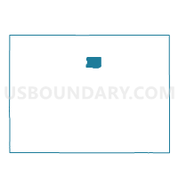
Maps

Graphs
Select a template below for downloading or customizing gragh for Boulder 56, Boulder County, Colorado


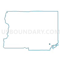
Neighbors
Neighoring Voting District (by Name) Neighboring Voting District on the Map
- Boulder 54, Boulder County, CO
- Boulder 55, Boulder County, CO
- Boulder 58, Boulder County, CO
- Boulder 59, Boulder County, CO
- Boulder 60, Boulder County, CO