


PALESTINE WARD 2 PCT 29, St. Francis County, Arkansas
About
Outline

Summary
| Unique Area Identifier | 527965 |
| Name | PALESTINE WARD 2 PCT 29 |
| County | St. Francis County |
| State | Arkansas |
| Area (square miles) | 0.05 |
| Land Area (square miles) | 0.05 |
| Water Area (square miles) | 0.00 |
| % of Land Area | 100.00 |
| % of Water Area | 0.00 |
| Latitude of the Internal Point | 34.97450000 |
| Longtitude of the Internal Point | -90.90450580 |
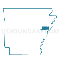
Maps

Graphs
Select a template below for downloading or customizing gragh for PALESTINE WARD 2 PCT 29, St. Francis County, Arkansas


