


Wallace Voting District, Little River County, Arkansas
About
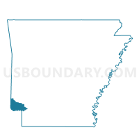
Outline

Summary
| Unique Area Identifier | 527130 |
| Name | Wallace Voting District |
| County | Little River County |
| State | Arkansas |
| Area (square miles) | 22.54 |
| Land Area (square miles) | 22.54 |
| Water Area (square miles) | 0.00 |
| % of Land Area | 100.00 |
| % of Water Area | 0.00 |
| Latitude of the Internal Point | 33.65644840 |
| Longtitude of the Internal Point | -94.35039840 |
Maps


Graphs
Select a template below for downloading or customizing gragh for Wallace Voting District, Little River County, Arkansas


Neighbors
Neighoring Voting District (by Name) Neighboring Voting District on the Map
- Arden Voting District, Little River County, AR
- Burke Voting District, Little River County, AR
- Jackson Voting District, Little River County, AR
- Red River Voting District, Little River County, AR
- Richland Voting District, Little River County, AR
Top 10 Neighboring County Subdivision (by Population) Neighboring County Subdivision on the Map
- Jackson township, Little River County, AR (1,692)
- Red River township, Little River County, AR (550)
- Wallace township, Little River County, AR (492)
- Arden township, Little River County, AR (423)
- Burke township, Little River County, AR (297)
- Richland township, Little River County, AR (18)